Drum-There and back (7.93miles / 12.76Km)
This walk was ages ago now! I started the write up but then never really got around to finishing it. It kept popping up on my things to do but then just never got done. Its been a long winter and we haven’t done much exploratory walking due to the weather, being busy, and Anwen being at that awkward age where she can’t go as far as she thinks she can! So here we are, finally getting around to finishing this…
Today was the Queen’s funeral. We decided to avoid it all by heading out into the hills with Mum. I left Anwen at home as there’s no way she was going to walk this route, but I did bring Megan with us. Mum has wanted to do Drum (said Drim not 🥁) for a long time. She remembers going up as a child and it’s basically in her back yard now she lives in Llanfairfechan. Me and her had scouted the path a little on a recent walk, and honestly, today was not going to be the full walk. Just like sometimes in the mountains you have to cut walks short because of the weather, today was an instance where the weather was so perfect it would have been a shame not to keep going.
This is not a difficult walk by any stretch of the imagination. It’s long and a steady pull, but the tracks are easy to follow and there is no scrambling or challenging climbs. We were passed a few times by cyclists, which gives you an idea of how straight forward the route is. It’s a great walk if you want to head up a significant summit (Drum is over 2500ft) but you’re not as confident about wandering in the mountains. There are a couple of routes to take up Drum. We set off from the Llanfairfechan end, rather than the Rowen end. As always with my walks there’s lots of history and beautiful views. We also saw plenty of wildlife including buzzards, choughs, a hare, and wild ponies.
Distance: 7.93miles/12.76km(according to OS app - although at the end of the walk it said we’d done 9.01miles)
Time taken: 5hrs ish (including a picnic)
Elevation gain: 2788ft / 849.78m (OS app)
Parking: Yes.
Facilities: None.
Walkers: Me (34years, fat but getting slowly fitter), Megan (nearly 6yrs, full of energy and never stops talking), Mam (50s, reasonably fit but struggles with her back and hips.)
1. Although Mum lives in Llanfairfechan we drove up to the start point of the walk as her house is much lower down and we though it would be good to cut out some of the height with having Megan with us. We parked, therefore, on Terrace Walk. It isn’t a car park but is a wide enough section of grass that 5 or 6 sensibly parked cars can fit easily.
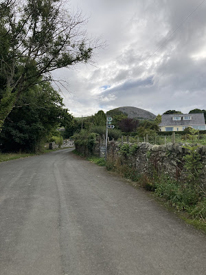
From Aber Road (main road through Llanfairfechan), turn up Caeffynnon Rd (opposite Bryn Y Neuadd Hospital) and at the top turn right up Llannerch Rd. Keep going up here until there is a sharp left turn onto Terrace Walk. The lanes are very narrow and windy. Keep along here until you see the verge open up on your left. There is a very obvious dog poo bin and a bench, and the footpath is clearly signed on the right next to a kissing gate.
Parking.
Footpath sign on the right.
We set off through the kissing gate and immediately begin gently climbing. Our first goal is to get to Carreg Fawr (Karr-egg Vaur - Big Rock) which looks huge from this angle but will soon vanish into nothingness amongst the landscape as we get above it. One of the joys and dangers of walking in the Carneddau is how much the landscape changes with every step you take. There aren’t clear peaks and shapes to latch onto which can make navigation very difficult, particularly if the weather comes in.
Setting off.
After the (very tight) kissing gate, we head straight up the field then to the right through a second (normal) gate, into an enclosed path. Parts of this short section are quite rocky where walls have collapsed onto the path and can be slippy in winter. Before long we come to a third (again normal) gate and out onto the hillside.
Gate 2.
Lovely path.
Full of enthusiasm.
After this third gate we get to one of the steepest sections of the walk. It’s good to get it done early in the walk! We head up and right from the gate, climbing quickly until we get to our last (narrow) kissing gate. It was here that we spotted the first of many wild Carneddau ponies.
Carneddau Ponies
The Carneddau Mountain range in Parc Cenedlaethol Eryri (Snowdonia National Park) is home to a small population of around 300 semi-feral Carneddau ponies whose history is said to date back to the Bronze Age. Although they are not designated as a rare breed, they are genetically distinct from the Welsh Mountain Pony and carry genes specifically related to hardiness and waterproofing. They are slightly smaller than the Sec A Welsh Mountain Pony standing at around 10 to 11 hands high, with a sturdy body, small ears shaped like sage leaves, and big personalities!
The Carneddau herd ranges over nearly 13,500 acres or 20 square miles of common between Bethesda, Llanfairfechan, Capel Curig and Conwy, which includes mountains over 3,000 feet high, bogs, cliffs, rocky slopes and lakes. The scenery is spectacular and the ponies know every inch of it. They are owned and managed by the Carneddau Pony Society- a group of local farmers who are supported through a management agreement with Natural Resources Wales that helps them to maintain the herd, grazing to benefit wildlife on the mountains, from Chough to Dung beetles. The ponies graze differently from sheep and have a wider diet than domestic ponies. Their grazing and trampling help to keep bracken and gorse under control, create pathways and maintain the landscape of the mountains.
Under the agreement the herd numbers must be kept steady to avoid overgrazing so draft mares, colt foals and surplus fillies are sold off each year. In the past they were sold as pit ponies but current economics mean they have little value so the graziers need to find new buyers. This is where Pori, Natur a Threftadaeth (PONT), Wales’ grazing organisation, comes in. They work with numerous organisations and have found jobs and homes for 200 of these ponies across Wales and England over the last 10 years. They are great for helping to manage a range of habitats, from fens to dunes to heathlands and grasslands. Sometimes the ponies are handled lightly in a round pen to train them to be head collared and loaded into trailers but they aren’t tamed like a domestic pony as they need to behave naturally and not interact with walkers.
There is an annual gather in November which takes places over three weekends and involves all the farmers and their families, local pony enthusiast volunteers, quad bikes, Landrovers and lots of walking! Once they are down on their farms the surplus animals are sorted for sale. The rest of the herd has a health check, a tail trim to show they’ve been gathered and is returned to the mountains.
Up and up.
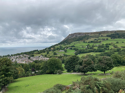
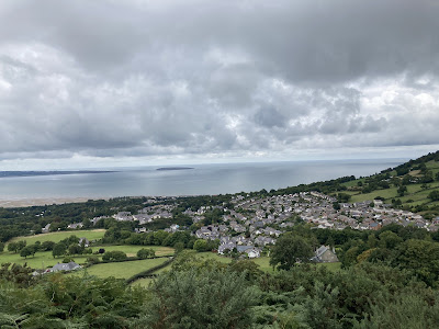
Views over Llanfairfechan and Penmaenmawr.
Llanfairfechan with Ynys Môn (Anglesey) and Ynys Seiriol (Puffin Island) beyond.
Carneddau Ponies grooming each other.
After the final kissing gate we follow the main path across this section until we get to a dry stone wall. Up on our left is Carreg Fawr and whilst it is possible to take a path up Carreg Fawr (worth it if you have time… the views are amazing) and then join back onto the track towards Drum, we avoid it on this instance as we’ve been a few times before and don’t want to tire Megan out too much. This area we walk through here was once part of an extensive Iron Age field system. The fields, irregular in size and shape, seem to have been dictated by the local topography. As you complete this walk you will see marker posts with numbers on them that link to the Llanfairfechan Uplands Walk. Along this section we pass marker 9 and on your right you’ll see a bare area. This is the site of an enclosed hut group. It is in a ruined state but the foundations of three huts can be seen. The inhabitants of these huts farmed the field system mentioned above. Although there are a few paths that break off along here, stick to the main track going diagonally across the area until you get to the dry stone wall.
After the kissing gate go straight on.
Marker 9 and looking down towards the remains of the homestead.
Views in front…
…and behind.
The path is pretty clear ahead.
Wish I had her energy!
Garreg Fawr is up on our left (out of the picture) and the dry stone wall can be seen in the distance.
Getting to the wall.
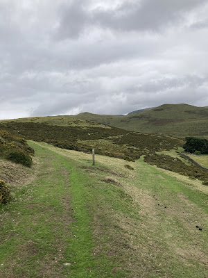
2. When we reach the wall we stay alongside it (with the wall on our right) for a very short section, then veer left when we reach the marker post and head uphill again.
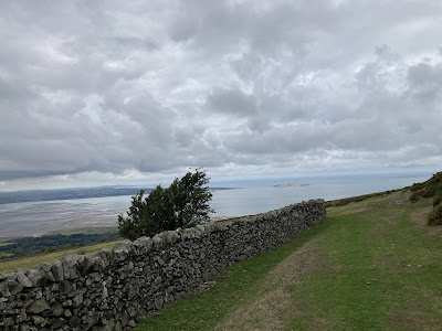
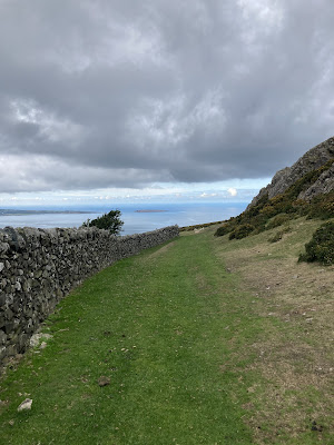
Alongside the beautiful wall, looking back the way we’ve come.
Turn left at the marker.
More incredible views.
Follow the path uphill. Look out for ponies in the gorse!
Enjoying the view.
Ominous clouds over Ynys Môn.
At the top of this short section we go to the right and head in the direction of the large pylons in the distance. The track is much more defined here and clearly used by vehicles. If you had decided to head up Garreg Fawr, this is the point you would join back onto this route- coming in from the left.
Pylons in the distance.
3. The pylon that we get to is at a crossroads and it’s here we head a tiny tiny bit off piste in search of the Roman incised stones. The crossroads here are known as “the meeting of the tracks”, so called because from this point tracks radiate off to Aber, Llanfairfechan, the Conwy Valley, and further up into the mountains. The track that cuts across ours is part of the Roman Road which ran from Canovium (Caerhun) to Segontium (Caernarfon). The road is about 4.5m wide and much of the paving has been removed for walling. The road had been a regular route through the mountains for centuries before the Roman invasion though.
The Meeting Of The Tracks.
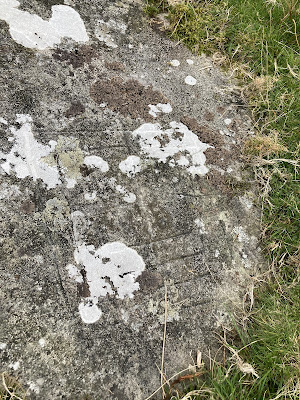
The stones are pretty tricky to find. They aren’t big and dramatic, and even with a pretty good idea of where the were we still struggled to spot them! They are very flat and low to the ground. If you turn with your back to the crossroads sign and head down the hill about 30 paces you’ll be there or there about. There is a no. 7 marker in the general vicinity but they are further down from that even. There are two stones of interest - one is an arrow stone, presumably used to sharpen weapons. The other stone is believed to be marked as a Nine Men’s Morris Board - a board game using stones and counters.
The arrow stone.
Nine Men’s Morris Board.
Nine Men’s Morris Board.
The are we found the stones with Dinas in the background.
We sat and ate our dinner here. Even though the stones aren’t much really to look at, it was amazing to sit and imagine all the layers of history in this place. Had Roman soldiers sat here eating their dinners, resting on their march to Segontium? Or some Drovers taking their cattle to market in England? Or even further back still to the ancient Britons?
After lightening our bags, we crossed over the Roman Road and followed the road straight on, as directed by the signpost.
Follow the sign.
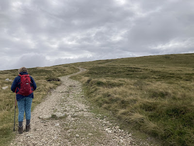
From this point on the track is really clear and straight forward. We were even passed by a bike or two. Although it’s uphill all the way, it’s really easy walking and pretty much as safe as you’re going to get in the mountains. Even if the weather did come in you’d get wet and miserable, but you’d be hard pushed to lose your way!
The access was built by the Royal Electrical and Mechanical Engineers (REME), assisted by local council employees. This was done in the mid 1950s as a portable radar station had been situated on Drum’s summit. The system was code-named ‘Blue Joker’ and was designed to test radar signal processing from as high a point as was reasonably practical, in order to minimise sea wave interference. There are some pictures and more information here on this really interesting blog https://hillcraftguidedwalking.com/2017/03/19/219-llyn-anafon-and-drum-in-the-northern-carneddau/
Even at this stage in the walk we still didn’t really intend to head all the way to the summit of Drum. We were just enjoying the walk and seeing how far we could get before turning back. The first part after the crossroads winds around the side of Yr Orsedd before taking us around Pen Bryn-Du. Across the valley is Drosgl. Drum can’t even be seen at this stage.
Up and around Yr Orsedd.
Onwards and upwards towards Pen Bryn-Du.
Looking across to Bwlch Y Deufaen (where the Roman Road drops down to Rowen)
Easy walking.
Drosgl on the left dropping to the track and Drum behind.
Views looking back. Ynys Seiriol (Puffin Island) bathed in light.
Beautiful and wild.
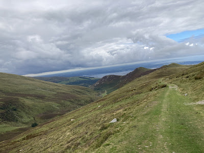
A little way past Pen Bryn-Du you can look down into the valley on your right and see Llyn Anafon, a reservoir right at the foot of Drum. The Afon Anafon winds it’s way below too. We decide that it looks like a good walk for another day!
Llyn Anafon.
Drum - doesn’t look much in a picture!
Llyn Anafon.
Looking back the way we’d come.
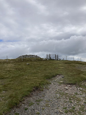
We finally make the decision that we’ve come this far and the weather is on our side, we might as well get to the top!
Getting there slowly but surely!
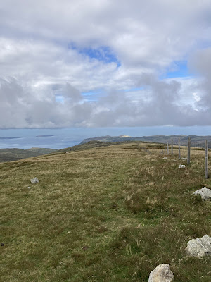
Views across to Ynys Môn.
She was definitely flagging at this point. There was a fair bit of whining going on!
So close!
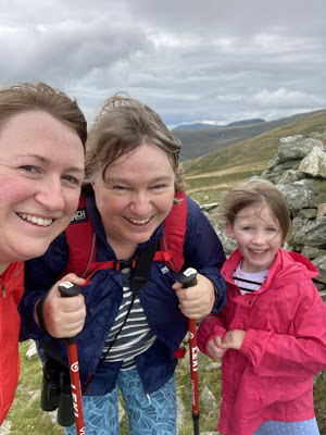
One last picture before heading home.
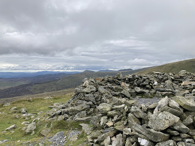
We didn’t stay too long at the top of Drum as the next peak along, Foel Fras, disappeared quite quickly into thick cloud and mist. We didn’t want to risk getting caught in it ourselves so we didn’t hang about. As it happens, the weather seemed to clear as quickly as it came but better safe than sorry.
Megan practically skipped home (Mam calls it summit euphoria) full of chatter about getting to the top of her first proper mountain. The walk back is just a case of retracing your steps. Nice and easy.
Llyn Anafon.
More ponies.
Dropping into Llanfairfechan.
Sources






















Comments
Post a Comment